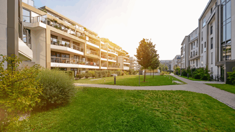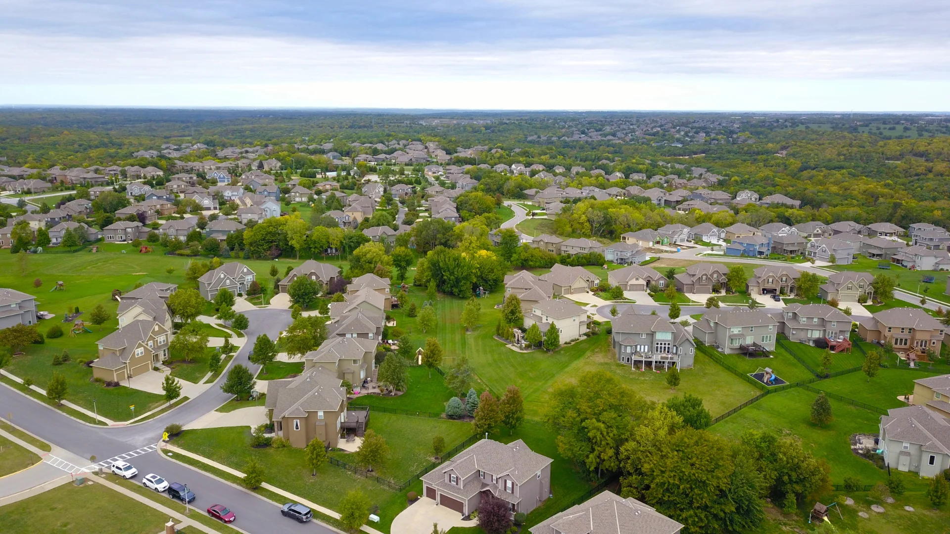
The Official Real Estate Cadastre Information System, ALKIS for short, defines object areas, buildings and structures. A 3D building model is derived from a digital, numerical surface model of the earth’s surface. In the next step, this surface model is reduced to the object areas above ground. Underground buildings and parts of buildings such as cellars cannot be taken into account with the model. (AdV-CityGML profiles for 3D building models 2011:2)
The level of detail describes the depth of detail of these digital 3D building models. CityGML is the exchange format and data model for 3D city and landscape models and provides an important basis for visualizations and applications in a 3D context. In Germany, the AdV, the Working Group of the Surveying Authorities of the Federal States of the Federal Republic of Germany, provides LoD1 and LoD2 across the country. The data is generated by the state surveying offices.

LoD0 – Regional model
With the Level of Detail 0 (LoD0), a building is shown in the simplest level of detail – as an outer outline. This can be measured as the perimeter of the roof edge, e.g. as a measured impression on the ground level or with the help of an aerial photograph.
LoD1 – The block model
With Level of Detail 1, also known as the “block model”, buildings and building parts are represented with a flat roof. Roof shapes are not shown in the model, but are included in the building height, for example.
In addition to the geometric description of the body, the data set of a building includes further attributes:
- The height of the building from the difference between the roof and floor height
- an object identifier
- the building function
- Quality specifications according to the metadata
- the situation

LoD2 – Use of generalized roof shapes
With LoD2, the roof shape is modeled by assigning standardized roof shapes and alignment to the ridge courses.

As with LoD1, the data set consists of the attributes:
- Height of the building from the difference between the roof height and the floor height
- Object identifier
- Building function
- the situation
- Quality specifications according to the metadata
and – this is the main difference to the LoD1 – the generalized roof shape.
LoD3 – 3D model of the outer shell with texture
Buildings in LOD3 (architectural model) differ from LoD2 in that their thematic surfaces (such as the exterior walls) can now also have openings (windows, doors).

LoD4 – Interior model
In the LoD4 model, the building also has an interior. At this level of detail, internal rooms can now also be built into the outer shell of the building. The model can also be supplemented with fixed equipment elements such as stairs, galleries or fireplaces as well as movable furniture.
The remainder of this blog post will only deal with the LoD1 and LoD2 levels of detail. They are the most suitable for digital building valuation as they are available throughout Germany.
Wert14 – Digital building valuation
In Germany, LoD1 and LoD2 data has been compiled across the country. These are subject to constant monitoring and are updated once a year. SkenData uses LoD1 data and adds roof features to it. Aerial image evaluations, artificial intelligence and user data are used for the expansion.
SkenData’s artificial intelligence is able to derive roof characteristics from aerial images. For example, the user can be automatically provided with information on the shape of the roof, roof structures such as solar systems and converted attics via data prefill, i.e. through automatic preallocation in the system. The user then checks the plausibility of these suggestions in an organic user guide. This brings us full circle to the previously mentioned user information – who should know the house better than the people who live in it?
This approach explains why SkenData does not model with LoD2 data, i.e. not with the deeper level of detail. One problem with LoD data in general is that roof overhangs cannot generally be taken into account, and often not at all. In some federal states, the roof corresponds to the floor plan of the building. Simply put, it always starts at the rising masonry.
Another method – this often only concerns regions, not entire federal states – does not use the rising masonry. In this case, floor areas are determined from the air, i.e. from the data from overflights. Translated, this means that the roof with the roof overhangs is assumed to be the base area of the entire house. In addition, the LoD2 simplifies the roof modeling. The result is therefore often not the real roof, but only an approximation.
LoD1 data is usually determined by “dropping” a certain number of height grid points onto the cadastral perimeter. To do this, an airplane with surveying equipment flies over a previously defined area. Every 50 cm (as an example), the distance between the object below and the measuring equipment is checked. This creates points of different heights on a building. Most countries calculate the mean value from these points. Roof structures, such as dormers, are included in the average height value. With LoD2, it is almost impossible – or at least very costly – to model dormers across the board. This often results in a building volume that is too low with LoD2.
SkenData has recognized these problems, rationalized them, homogenized the different federal states and developed an approach that you are familiar with today from Wert14. The result is so accurate that over 30 insurers have already declared underinsurance waivers on the Wert14 building report.

A similar method is used in countries such as Austria. Here, SkenData determines the building heights by calculating a surface model and intersecting a digital terrain model with corresponding cadastral data. With this determined building height and the data of the official floor plans, a building model analogous to LoD1 can be created. This block is then also extended with roof features using aerial image analysis, AI and user data.
Wert14 – Sum insured quickly and easily
One advantage of SkenData technology becomes clear in the very first step of the Wert14 building valuation. Because the cadastral data is available, the system recognizes the perimeters on the property and automatically adds them to the address search together with the official floor areas. Even a shortened search such as “Goethes 1 Ros” for “Goethestraße 1, 18055 Rostock” delivers a clear result.
The artificial intelligence behind Wert14 recognizes roof shapes and roof superstructures as well as photovoltaic systems. This saves input time because only the data prefill, i.e. the pre-assignment of the building characteristics, needs to be checked for plausibility. The building use can often be narrowed down precisely enough so that you can already receive and edit a prefill.
With SkenData, you can digitally map 51 million buildings in Germany and 2.19 million buildings in Austria and determine the corresponding insurance value.
With the innovative building avatar, you receive visual feedback on your entries during the building valuation. This makes the entries more comprehensible overall.

Following a Wert14 building valuation, you will receive a PDF BuildingReport that provides a transparent breakdown of the values determined. The building report is ideal for talking to customers and shows whether a new sum insured or policy may need to be agreed.